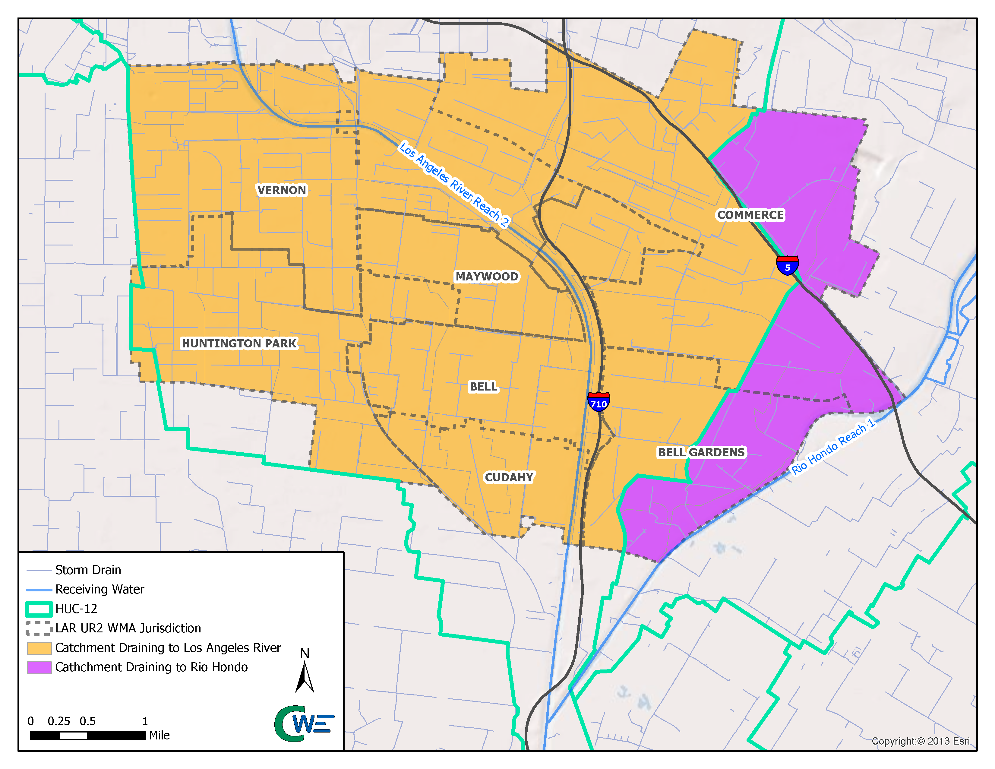
The LAR UR2 WMA Cities lie exclusively within the Los Angeles River Watershed and each Permittee discharges to Reach 2 of the Los Angeles River, a concrete-lined river channel with year-round flows comprised primarily of treated wastewater. The Cities of Bell Gardens and Commerce also drain southeast to the normally dry concrete-lined Rio Hondo tributary channel. To the north and west, the LAR UR2 WMA is bordered by, and receives discharges from, the Upper Los Angeles River EWMP Group, while the Lower Los Angeles River WMP Group aligns with the east and south LAR UR2 WMA borders.
Many of the watershed water quality impairments were previously identified as Total Maximum Daily Loads (TMDLs) and are being successfully addressed by the LAR UR2 WMA Permittees.
In August 2013, a Memorandum of Understanding (“MOU”) was made and entered into by and between the GWMA and members of the Lower Los Angeles Upper Reach 2 Watershed Group which consisted of the Cities of Bell, Bell Gardens, Commerce, Cudahy, Huntington Park, Maywood, Vernon, and the Los Angeles County Flood Control District (“District”) for administration and cost sharing to prepare and implement a Watershed Management Program (“WMP”) and Coordinated Integrated Monitoring Program (“CIMP”) as required by the Regional Water Quality Control Board, Los Angeles Region (“Regional Water Board”), National Pollutant Discharge Elimination System Municipal Separate Storm Sewer System Permit Order No. R4-2012-0175 (“MS4 Permit”).
In December 2014, a First Amendment to the MOU was entered into by and between the GWMA and participants to add implementation of the Plans to the scope and purpose of the MOU and to provide a separate cost-share formula for the implementation of the Plans.