The Los Angeles River Watershed is one of the largest in the Region at 824 square miles; the river is 55 miles long. It is also one of the most diverse in terms of land-use patterns. Approximately 324 square miles of the watershed are covered by forest or open space land including the area near the headwaters which originate in the Santa Monica, Santa Susana, and San Gabriel Mountains. The rest of the watershed is highly developed.
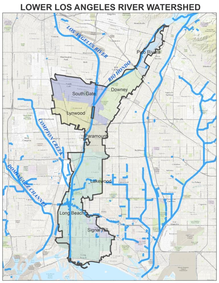
In August 2013, a Memorandum of Understanding (“MOU”) was made and entered into by and between the GWMA and members of the Lower Los Angeles River Watershed Group which consisted of the Cities of Downey, Lakewood, Long Beach, Lynwood, Paramount, Pico Rivera, Signal Hill, South Gate, and the Los Angeles County Flood Control District (“District”) for administration and cost sharing to prepare and implement a Watershed Management Program (“WMP”) and Coordinated Integrated Monitoring Program (“CIMP”) as required by the Regional Water Quality Control Board, Los Angeles Region (“Regional Water Board”), National Pollutant Discharge Elimination System Municipal Separate Storm Sewer System Permit Order No. R4-2012-0175 (“MS4 Permit”).
In June 2015, a First Amendment to the MOU was entered into by and between the GWMA and participants to add implementation of the Plans to the scope and purpose of the MOU and to provide a separate cost-share formula for the implementation of the Plans.

