 The San Gabriel River is one of seven major watersheds partly or completely within Los Angeles County. Most of the river lies in southeastern Los Angeles County, but a portion of this watershed originates in northern Orange County. During dry weather conditions and periods of light rainfall, the lower portion of the San Gabriel River is hydrologically separated from the upper San Gabriel River at an area commonly known as the Whitter Narrows where the upper San Gabriel River flows through a narrow gap in the hills surrounding the San Gabriel Valley. During the rainy season, significant runoff is intercepted from the upper watershed and used to recharge groundwater. Flows measured just above the Whittier Narrows dam must exceed 260 cfs in order for flow to start to pass through into the lower San Gabriel River.

Due to this natural separation, thirteen cities and the Los Angeles County Flood Control District opted to develop a Watershed Monitoring Program (WMP) and Coordinated Integrated Monitoring Program (CIMP) to address the lower portion of the San Gabriel River. The watershed addressed by this group includes Reaches 1 and 2 of the San Gabriel River Watershed and portions of Coyote Creek that originate from jurisdictions within Los Angeles County. In addition, a small portion of Diamond Bar and Whitter that discharge to Brea Creek and San Jose Creek Reach 1 is also addressed by this CIMP
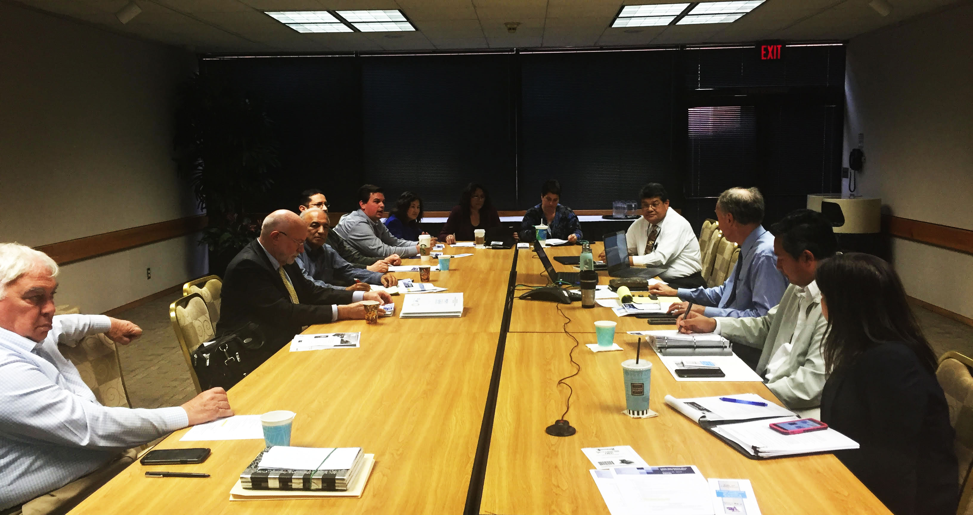
In August 2013, a Memorandum of Understanding (“MOU”) was made and entered into by and between the GWMA and members of the Lower San Gabriel River Watershed Group which consisted of the Cities of Artesia, Bellflower, Cerritos, Diamond Bar, Downey, Hawaiian Gardens, La Mirada, Lakewood, Long Beach, Norwalk, Pico Rivera, Santa Fe Springs, Whittier, and the Los Angeles County Flood Control District (“District”) for administration and cost sharing to prepare and implement a Watershed Management Program (“WMP”) and Coordinated Integrated Monitoring Program (“CIMP”) as required by the Regional Water Quality Control Board, Los Angeles Region (“Regional Water Board”), Nation Pollutant Discharge Elimination System Municipal Separate Storm Sewer System Permit Order No. R4-2012-0175 (“MS4 Permit”).
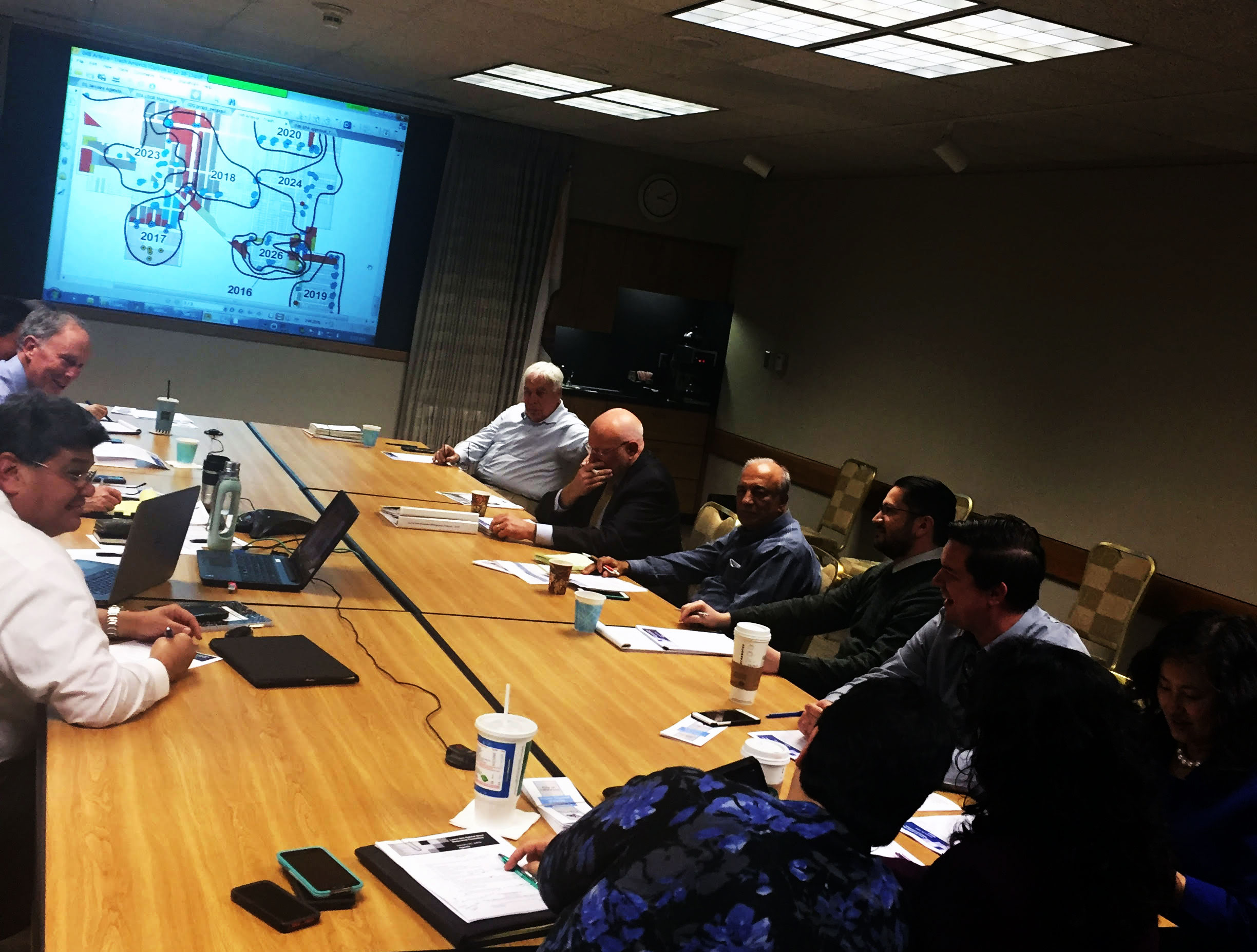 On April 28, and June 18 2015, The Watershed Management Program (WMP) and Coordinated Integrated Monitoring Program (CIMP) were respectively approved by the Executive Office of the Regional Board and implementation of watershed control measures and monitoring begins.
In June 2015, a First Amendment to the MOU was entered into by and between the GWMA and participants to add implementation of the Plans to the scope and purpose of the MOU and to provide a separate cost-share formula for the implementation of the WMP (which the CIMP has been incorporated into). fake rolex breitling replica replica watches